My North Woods Ramble
Unlike many people who had to change their vacation plans when COVID19 hit and changed everything, I was already planning to be social distancing and off the grid in the North Woods this summer. The entire 100-mile wilderness was the original plan, but COVID19 curtailed even some of my training and I figured a scaled back version was in order, allowing some time for my wife and I to play around Baxter State Park. She has informed me that backpacking is not her thing but I am more than welcome to it myself. So the plan became 50 miles on the AT, five days in Baxter State Park Day hiking Hamlin Peak and North Brother with a possible additional 2 days and the Traveler loop as my “stretch goal.”
I was entirely unprepared for that both the preparation and anticipation and for the level of chill that that this plan would grant me, but I had so much fun I figured a trip report was in order.
- July 17-19 – Shake-out Trip on Debsconeag Wilderness Loop Trail
- July 21-26 – Solo Backpacking on the AT
- July 26-31 – Lean-To at Katahdin Stream and Day Hiking Baxter State Park
The Shake-out: Debsconeag Wilderness Trail
The troubles began with the weather. The shake-out trip planned for July 11-12 in the Nahamakanta Public Lands on the Debsconeag Wilderness Loop had to be postponed due to a tropical storm. (Good choice — the area was soaked that weekend!) I had not been backpacking in well over a year, so some shakeout was needed before a 6-day trek. So the shake-out was planned for July 18-19, with only a day and 2 night in between to make adjustments!
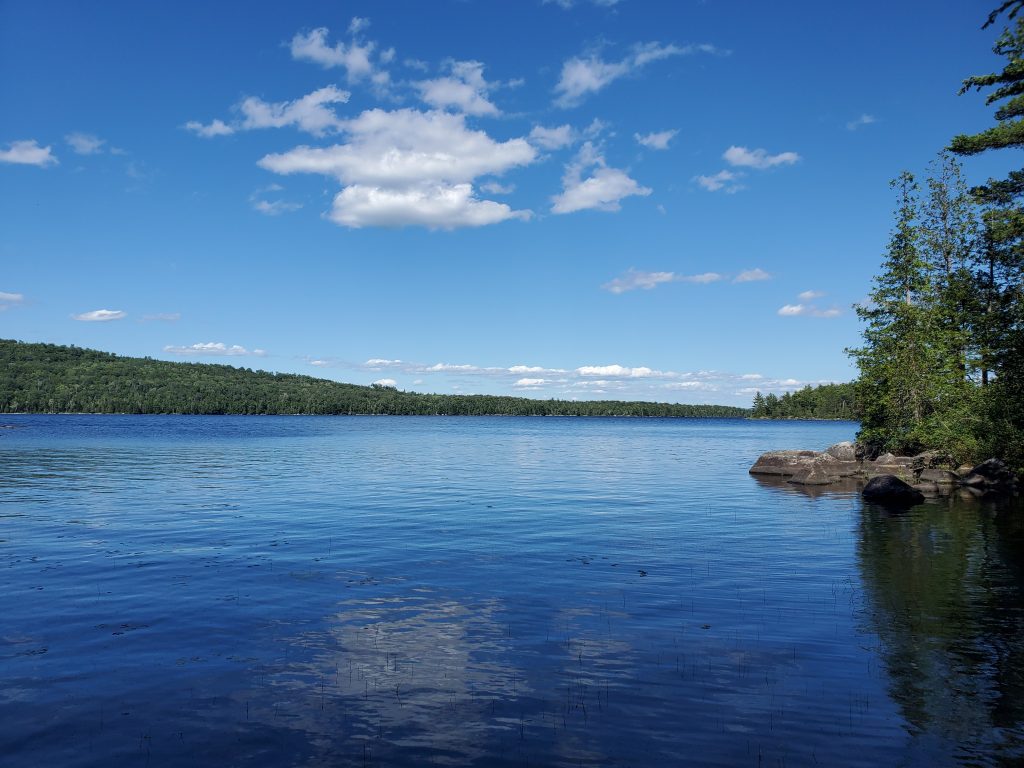
Diane figured she would come with me to keep me company, and get some time in the woods herself! The Debsconeag trip was a nice walk through the woods, with heat and humidity the first day, and rain the next. It was only on our return to the trail head that we realized we had all the elevation in the first hours of our humid adjustment to backpacking again, but the evening on Nahamakanta lake made it worth it all!
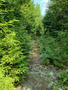
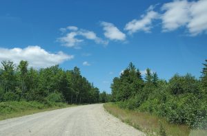
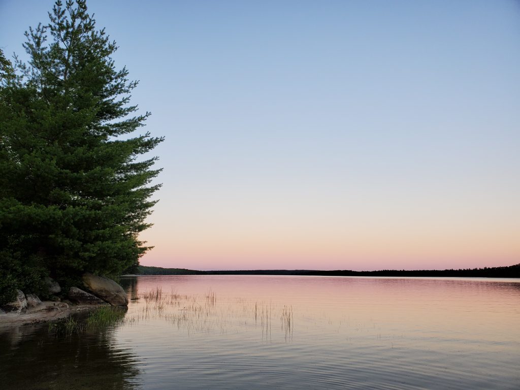
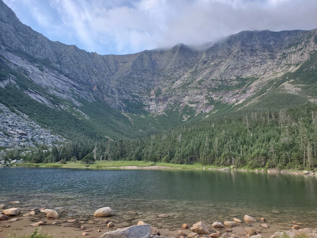
On Friday we drove up and stayed at Jo Mary Lake Campground so that we would not have to drive the 4 hours up from southern Maine before we began hiking. On Saturday we drove by Nahamakanta Lake Road a ways before realizing it. There is no sign, so pay attention to the mileage! The trail head had one other car at it, but we never saw the occupant. The we walked the loop so that we would end up at the north-western end of Nahamakanta Lake, walking an old logging trail for some way and passing by a number of pretty ponds.
We camped for the night on the sand bar, swam in the water to wash off the sweat and humidity and enjoyed watching dozens of dragonflies feast on the bugs as the sun set behind the mountains.
The next day started well and we were expecting more heat and humidity, but mercurial Maine Weather gave us rain instead, just as we got packed up and ready to go. The result? WE did not overheat, but we did end up with wet feet, as we forgot to wear our gaiters and walking a close trail in the rain without gaiters will get your feet wet! The day was more downhill than the previous day and was much prettier scenery. We got to the trail head and back to our truck at noon, just as the sun came out and started overheating everything! Thanks be to the rain!
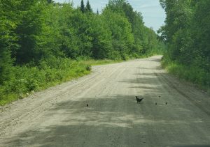
On the way out to the main road, we TWICE had to stop to allow a ruffled grouse mother to guide he chicks across the road. Never had that happen to me before. The second time it was close to 5 minutes as we waited for the reluctant chick to be coaxed across the road. Why did the grouse cross the road?
So, the results of the shake-out? Wet boots, take and wear your gaiters when it rains. Humid? Drink lots of water! Eat at least every 3 hours. The Helix Zero Chair does not work well in sand, don’t bother bringing it.
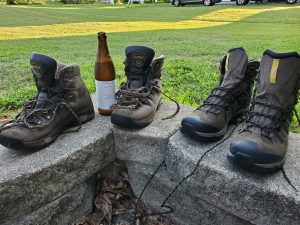
But as with all great adventures the problems start early. First, I could not get my boots to dry out, then I discovered the sole was coming off! Time to retire my Asolos, but no time to break in a new pair! I had been researching new boots and was looking for something less bulky, so I ended up running down the to Eastern Mountain Sports the night before and purchasing a pair of Salomon Quest 4D 3 GTX boots, hoping they would not need to be broken in, and held a retirement party for my old pair.
The 100-Mile Wilderness
Then the day of departure for the 100-mile wilderness arrives and put my pack together and weigh it – way too heavy! y food bag alone for 6 days was 10 lbs! So I quickly started throwing out the deserts and the luxury items, paring down to the smaller tent and fewer clothes items to get to what I felt was a more manageable weight. (I still need to work on denser, more calorie rich food to take.) That whole scramble delayed our departure, but in the end probably saved me more sweat and pain than I could imagine. I shaved off 5 pounds in a flurry of activity!
Diane and Drake drove me all the way up to where the Appalachian Trail crosses the Jo Mary Road and dropped me off for my great adventure. I watched them drive off, sighed a deep lonely sigh and dove into the woods.
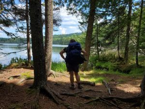
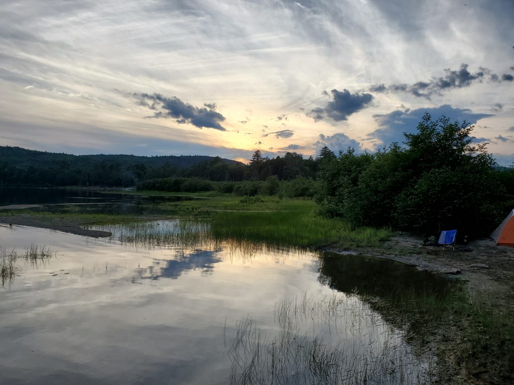
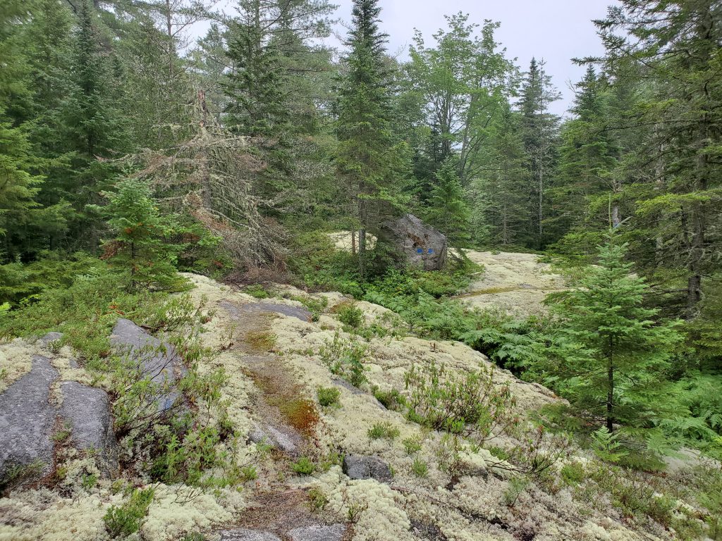
That first day I was planning on stopping at Antlers, about 4.3 miles in, but while the campsite looked inviting, there was already people there and I wanted some solitude. So I kept on hiking until I got to sand beach on the other side of Lower Jo Mary Lake at about 6 miles. I sat up camp there and made a lounge chair out of granite boulders and waited for the stars to come out. I was not disappointed.
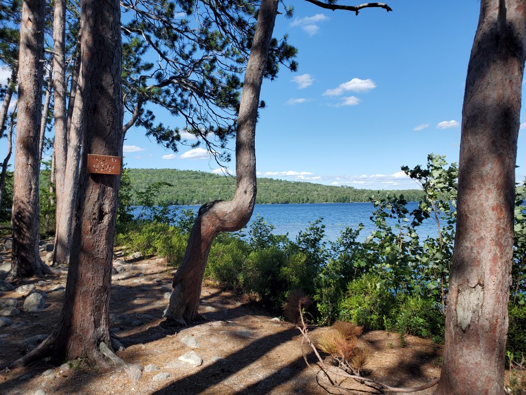
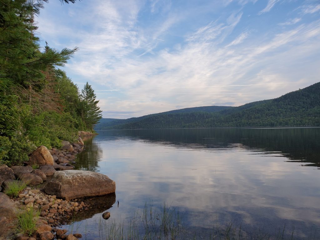
The next day (day 2) I hiked all the way to Nahamakanta lake and almost camped again on the shore, but the weather report predicted heavy rain that night, so I figured a Lean-To would be better, and so headed up to Wadleigh Stream Lean-To at 12 miles for the day. This is when I started to actually run in to people that wanted to talk. I slept like a baby that night in the lean-to, and it did not rain of course.
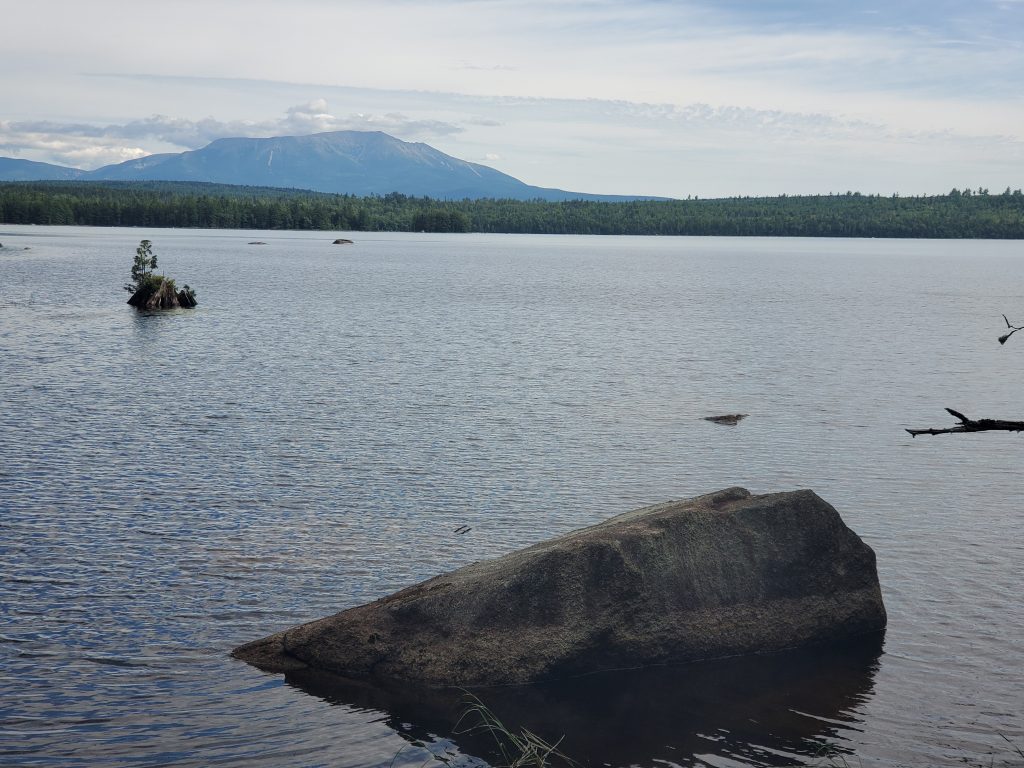
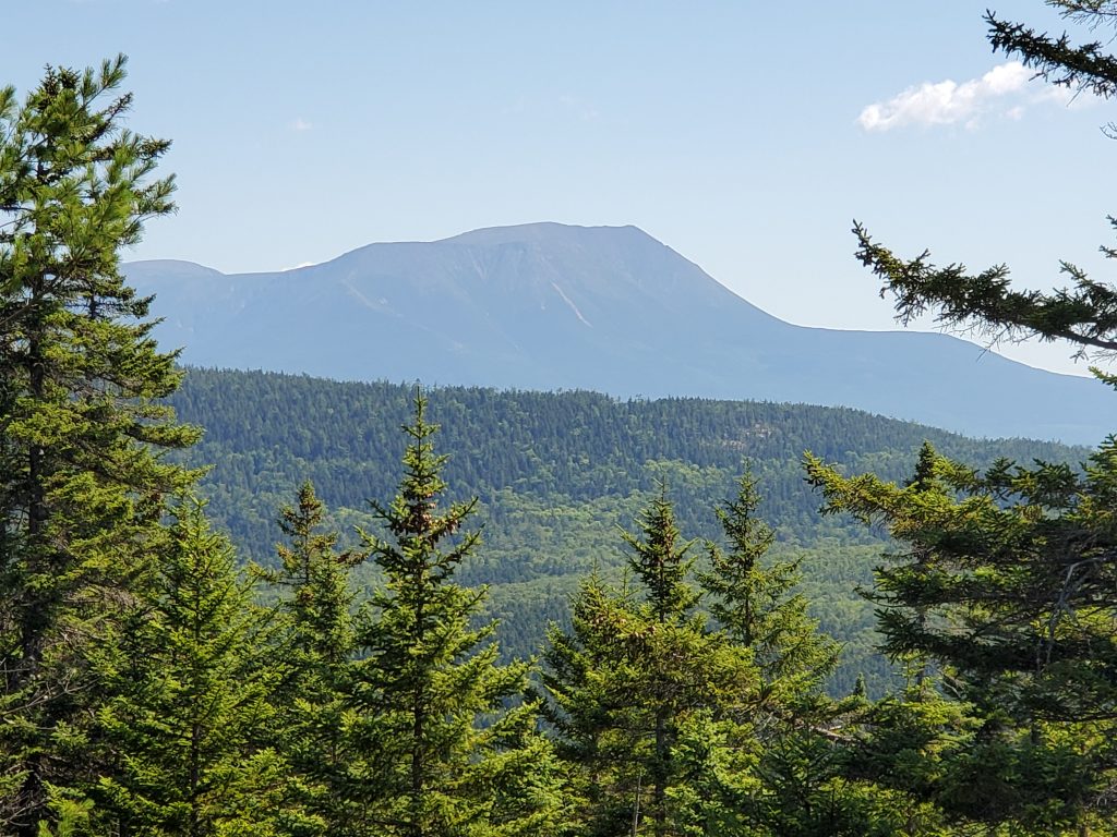
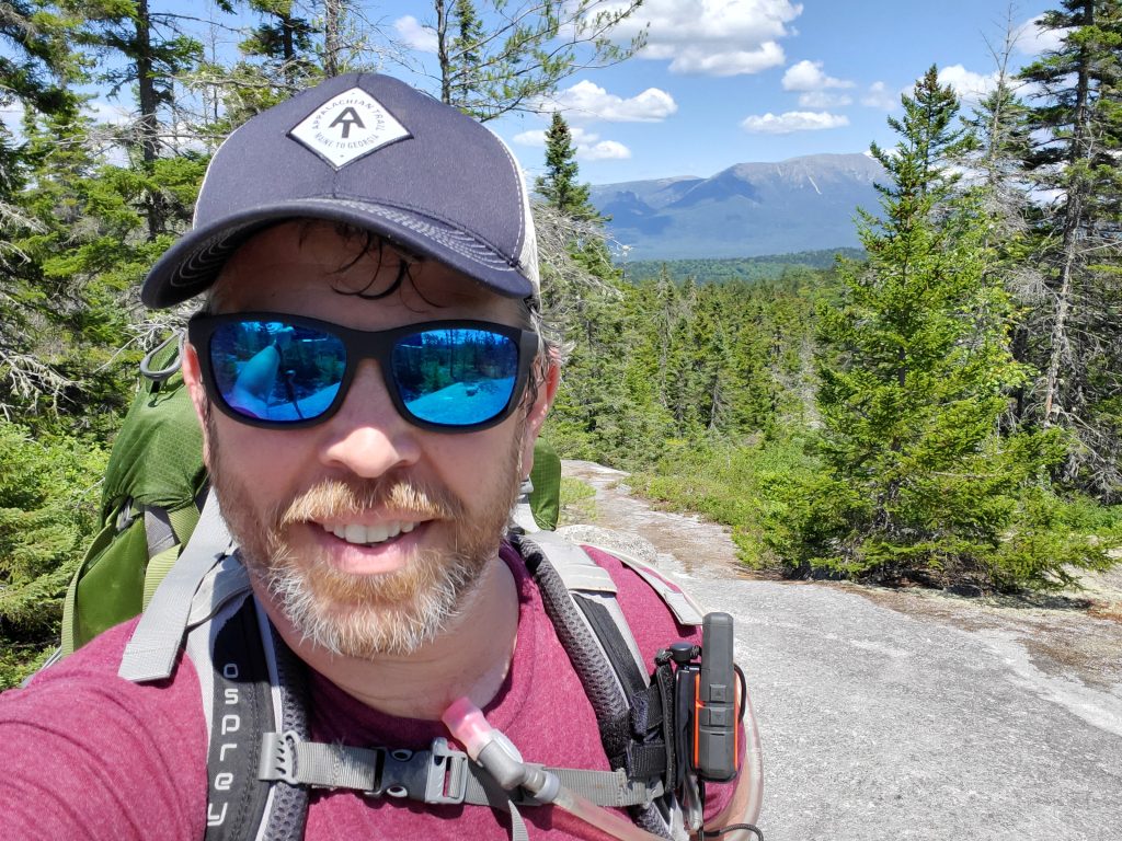
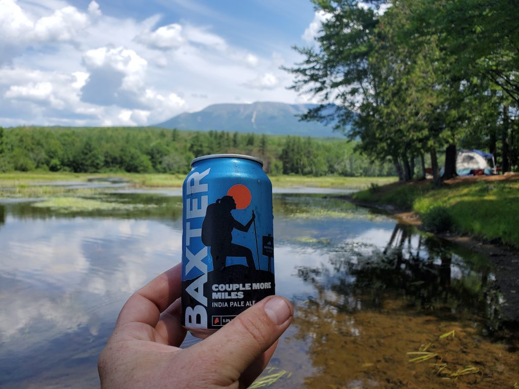
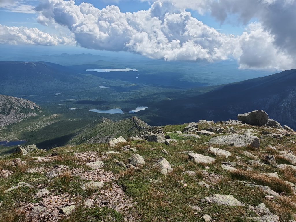
Day 3 was my birthday! I got to hike as far as I wanted, at my own pace on a beautiful day in the Maine Woods. What more could I ask for? I started the day with a climb up Nesuntabunt Mountain (1500 feet), from the top of which I had cell phone reception to call home and post an Instagram Mountain selfie (LOL!). By this point I am realizing that I was going to need to ensure my water intake was significantly more than I thought it should be. From that point on, at every stop I chugged somewhere between a half to a full liter of water, just to ensure I did not get dehydrated, and it definitely helped my energy levels. That day for lunch I had my Salame Caprese and Asiago Cheese in Olive Oil and Rosemary on a Tortilla beside a rushing brook – few meals are better than that! And the concentrated energy in that meal helped me get to Rainbow Spring Campsite, completing 12 miles for the day, not including the half-mile to visit the Rainbow Lake Dam.
The next day, day 4, I had time to waste, since I could have probably hiked out to Abol Bridge from there, but I wanted to spend another day on the trail. So I took the time to hike up Rainbow mountain and still got over the Rainbow Ledges and to Hurd Brook Lean-To by 3PM. The trip up Rainbow Mountain (1644 ft) was well worth the climb for the views. All together it was 7.7 miles of full pack and 1.5 miles to visit Rainbow Mountain.
I stopped for lunch at the Northern end of Rainbow lake and must have been salty, because I became a resting place for dragonflies and butterflies as I nibbled my lunch. Next I climbed over Rainbow Ledges and wished that I was a week or tow later, as the blueberries are not yet ripe enough, save a few.
So I arrived early and napped at Hurd Lean-To, having only 3.5 miles left to get to Abol Bridge and back to some semblance of Civilization. I was not ready for it yet. Instead, I napped and read some The World Ending Fire: Essential Wendell Berry on my phone. If you are looking to connect with a place on a deep intimate level, backpacking and Wendell Berry go well together, like a fine wine and an aged cheese. WHile i do not want much technology besides my Garmin InReach Mini with me, having Kindle on my phone is a luxury helps drive equip me with thoughts for reflection as I hike or even as I nap.
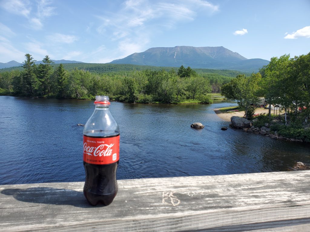
Day 5 was only 3.5 miles to Abol Campground, the only private campground on the entire Appalachian Trail. I arrived there at 9:30 and grabbed a coke to enjoy. They had a tent site available, but I could not get into it until 11 AM, since that was “check-out” time. So I took my Coke, went back across the bridge and found a spot down by the river to nap. (I found that my napping capacity was greatly enhanced during this trip.) I awoke at precisely 11 AM and walked back to get my tent site, settling in to have my lunch, a six-pack of beer and a shower. Unfortunately, neither the beer nor the shower were all I had hoped for, but they sufficed. Then, I napped the afternoon away! (What else?)

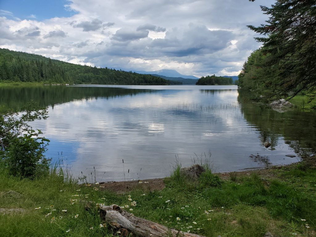
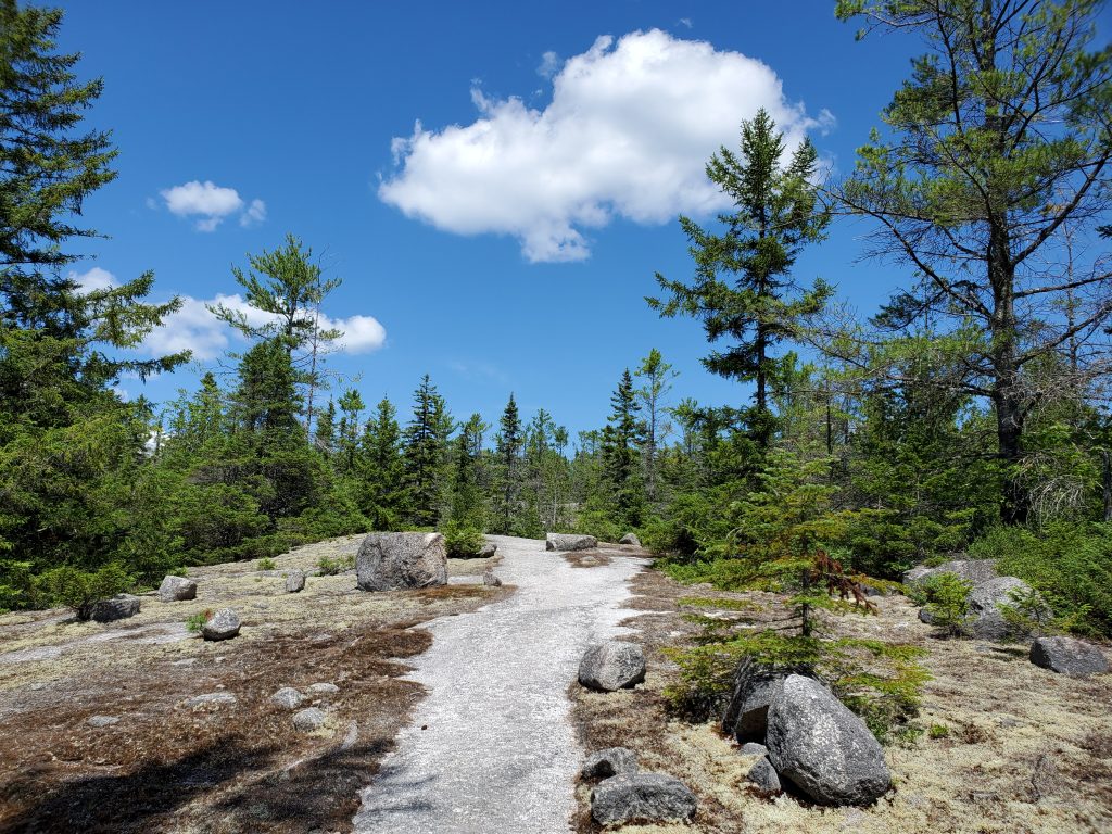
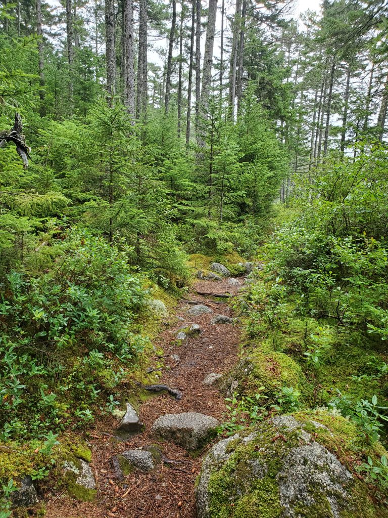
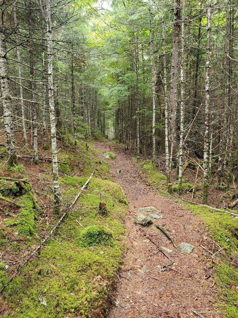
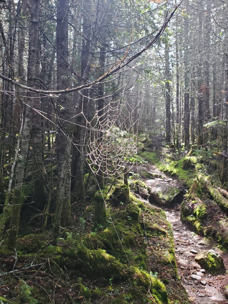
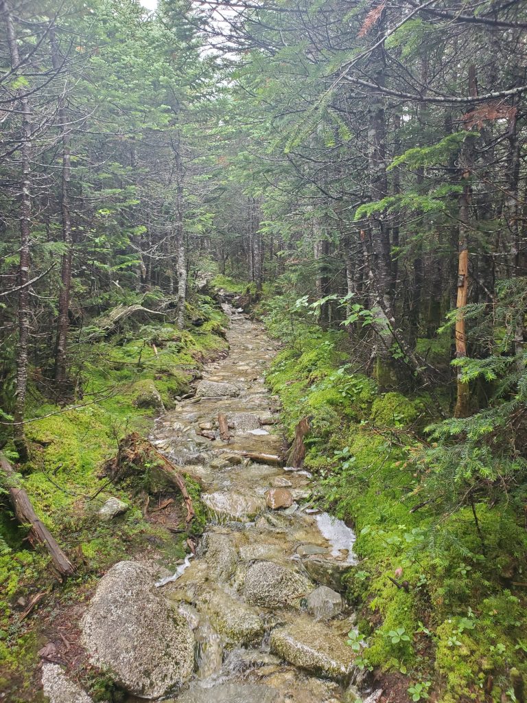
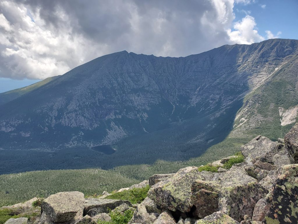
It is never fun breaking camp in the rain, but at least this was the last day I would need my tent. I figured I had 10 miles to hike that day and expected Diane to meet me at our reserved Lean-To at Katahdin Stream around 3 PM, so I had plenty of time. I could have shorted the trail by going up the Blueberry Ledges Trail but that would skip a bunch of the official Appalachian Trail, so I stayed on the longer version following the Penobscot up the Nesowadnehunk Stream and past Daicey pond to Katahdin Stream. That last stretch between Daicey Pond and Katahdin Stream campground is some of the most beautiful trail I have ever hiked, and my pictures cannot do it justice.
I made it to my lean-to at Katahdin Stream and checked in shortly after noon. It turns out that my maps were out of date and the trail had been re-routed, removing about a mile, so I got 9 miles done, rather than 9.9. I began to dry out and heated some Lipton Cup-a-Soup and then napped until Diane arrived later. She remarked that she had never (in almost 22 years of marriage) seen me so “chill.” I guess that is what the woods does to you, maybe that’s the Tree-breath exchange.
Baxter Park Exploration
But we were not done, we had FIVE nights at Katahdin Stream in that Lean-To, and there was a park to explore! Monday was a zero day where we drove out the Golden Road to Chesuncook, a village that was there when Thoreau visited the area. The views were beautiful and the road was better than I had thgouht, at least where it as dirt.
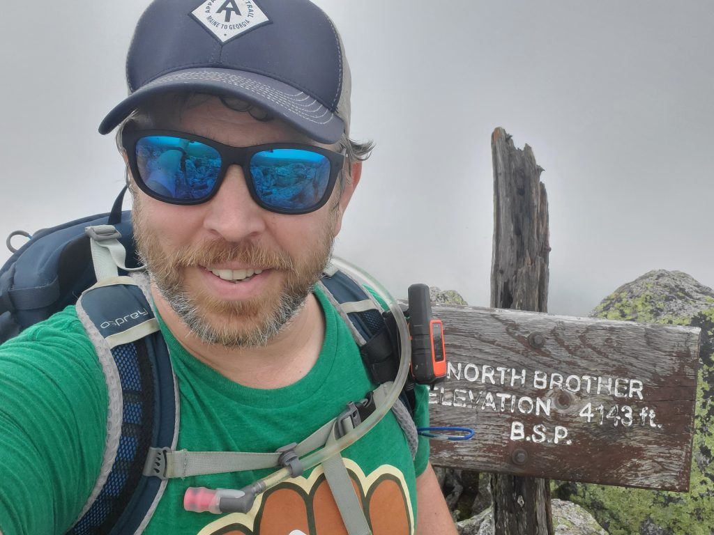
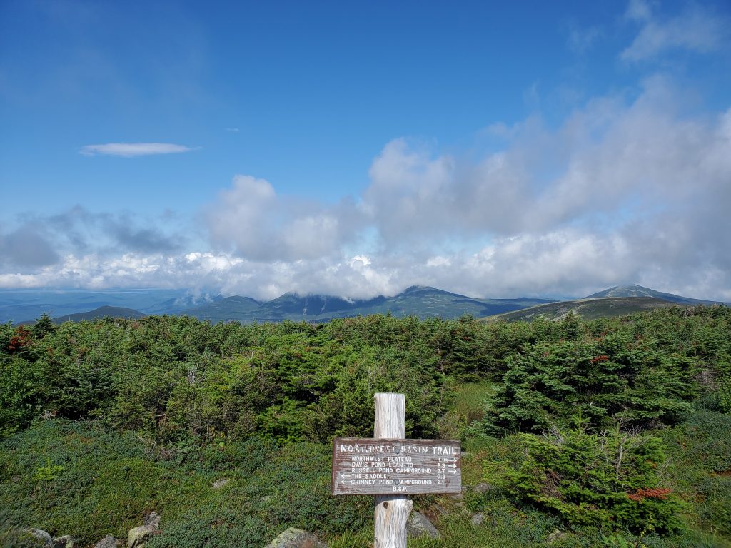
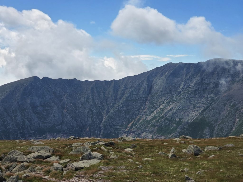
Tuesday was our day to hike North Brother Mountain, a 4,000 foot peak with Diane and my Cousin, Hollie. Hollie arrived to pick us up and head to the little-used trail head. It should be more used, it was an amazing hike, with sections that rivaled the Daicey Pond to Katahdin Stream AT section I had hiked on Sunday. We took the Martson Trail out and back which would total 8.6 miles out and back with an elevation gain of 3,618 feet.
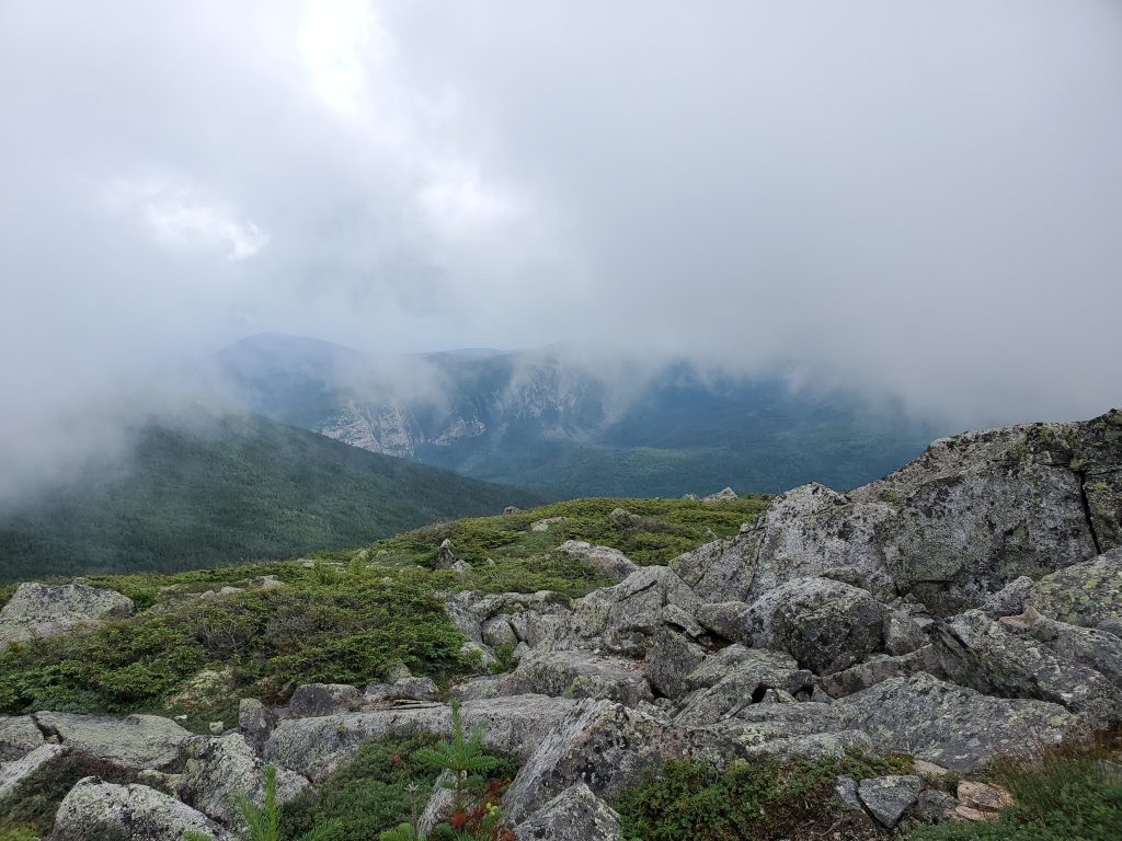
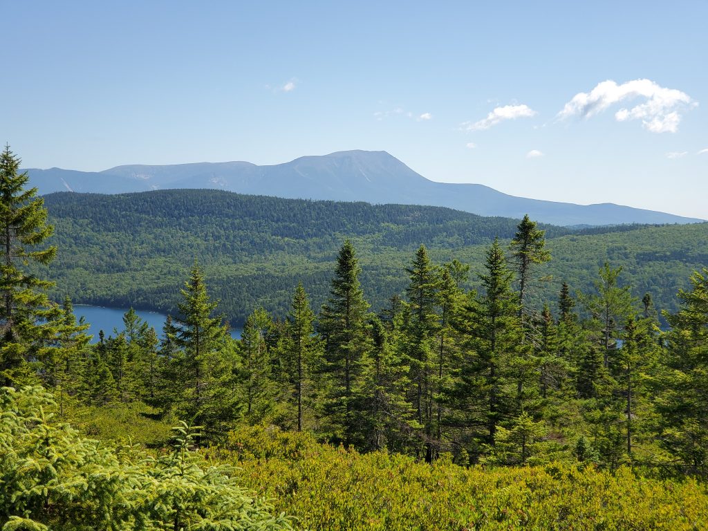
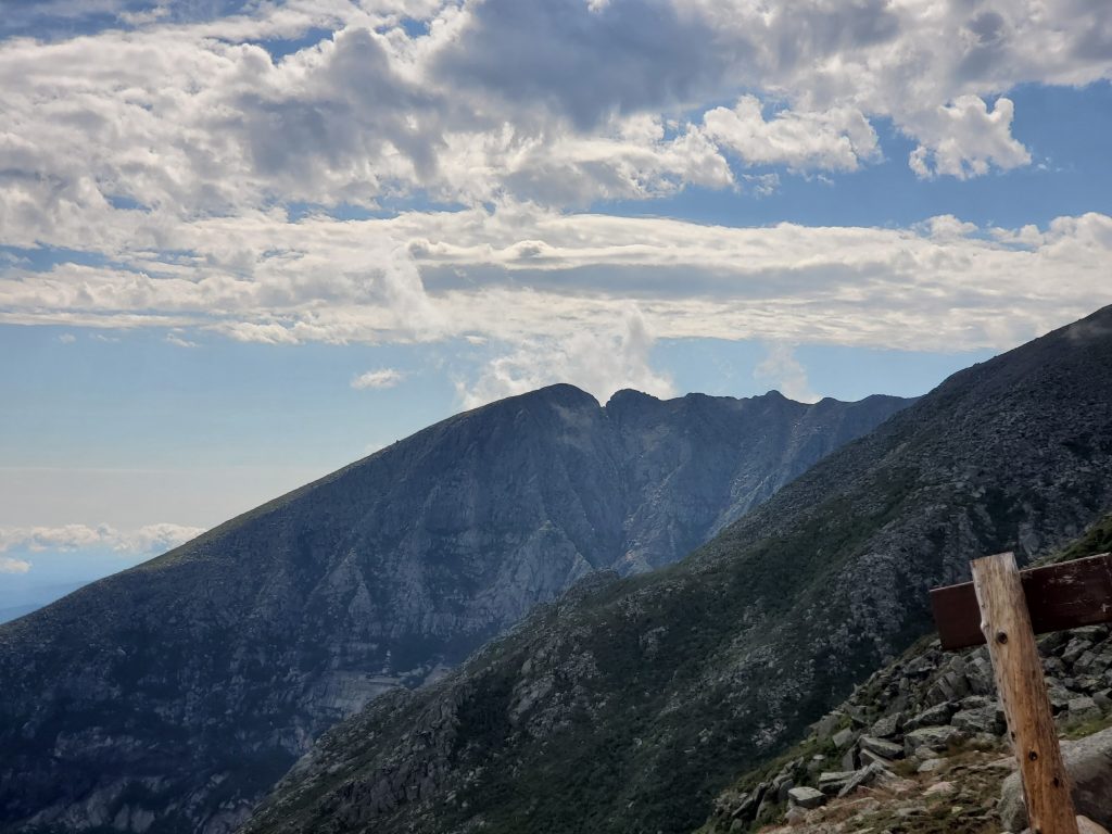
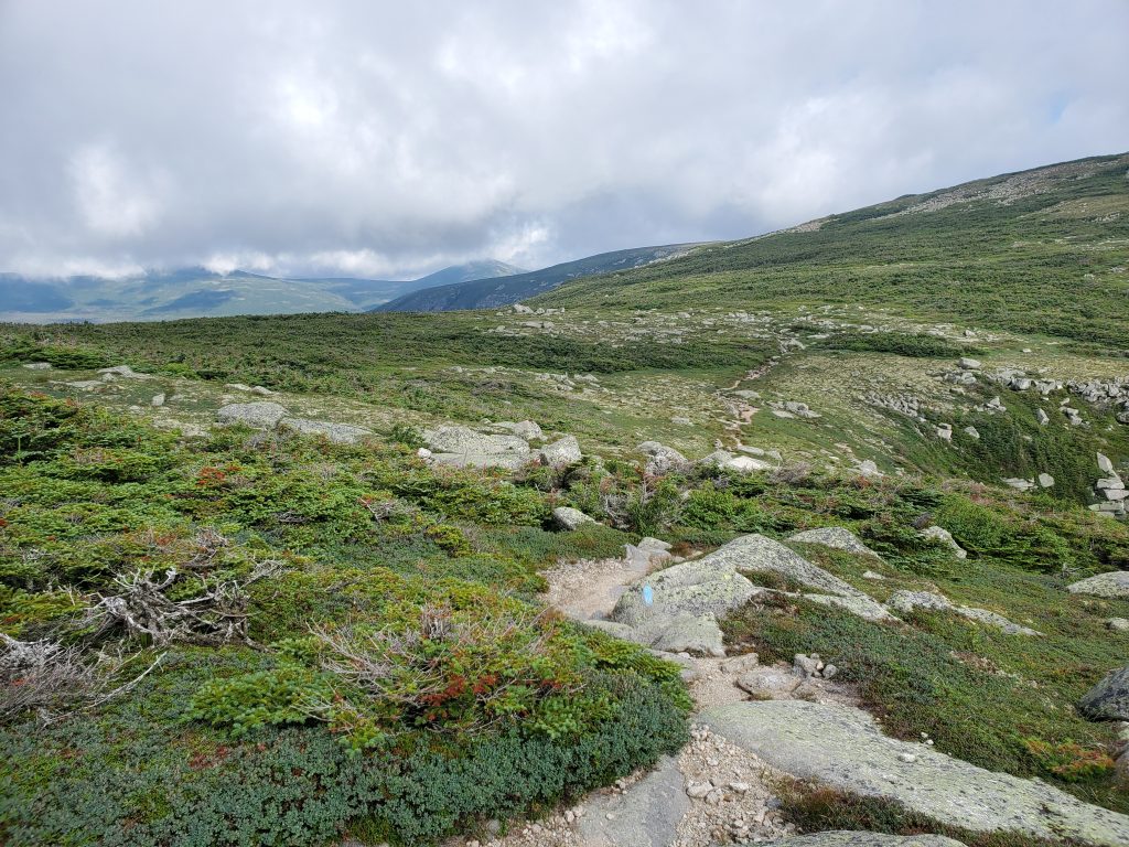
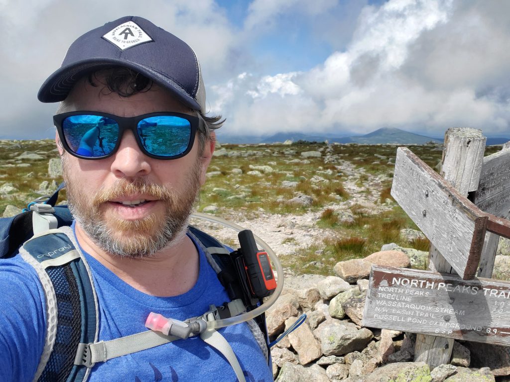
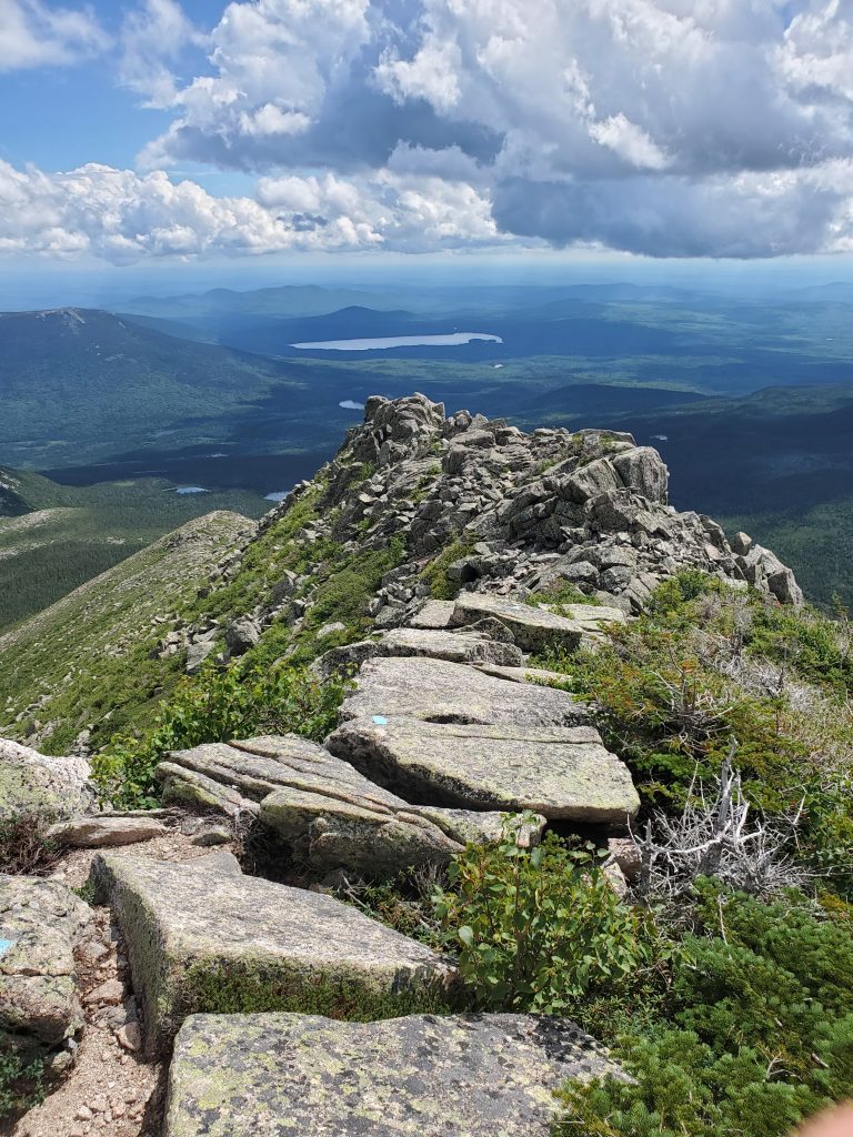
So, one more hike. Diane wanted her own alone time and I wanted to bag Hamlin peak (4,756 feet), so on Thursday, Day 10, I scooted over to Roaring Brook Day Use area and took Chimney Pond Trail Up to the Saddle and came down Hamlin Ridge Trail, taking the cut-off to get back to the Chimney Pond trail and down for a total of 10.3 miles and 3,267 feet of elevation gain. I regret never doing a hike this side of Katahdin before, because the views were spectacular. I made the best time ever to Chimney Pond at 1.5 hours. Then it was just a bit over an hour to the tableland on the Saddle Trail and up to Hamlin Peak within the next 45 minutes. I had an early lunch admiring the view and watching the sun burn off the remaining clouds to turn the day into a hot one (for Maine). I carefully chose my way down Hamlin Ridge Trail but kept pausing to admire the views. While they say the trail is “Knife Edge – like” it is not nearly as scary or difficult.
I actually made it to the trail head by 2 PM, I probably should have dawdled someplace to spend more time on the Greatest Mountain, but there had been Thunderstorms predicted (which did hit later), and I do not want to be above the treeline for that!
Anyway, on Day 11, we broke camp and headed home, having had enough of the woods to keep me charged for a while.
The final tally, from July 17 through July 31:
- 12 Tent/Lean-To Nights
- 83 miles of hiking
- 63 miles backpacking (50 on the Appalachian Trail)
- 20 miles Day Hiking
- 2 4K peaks (4 of Maine 14 accomplished)
- Maximum “Chill” Achieved
And because life is learning, here are some of the things I earned while on the trail:
- There are many unprepared people on the trail
- Toilet paper can be considered disrespectful to your bum (thanks, Sheetrock!)
- You can still hitch-hike from Tennessee to Maine, even during the COVD19 pandemic
- Take the swim now, no matter what the map says is coming up
- Loons and seagulls are territorial and will argue over territory in the middle of a remote deadwater
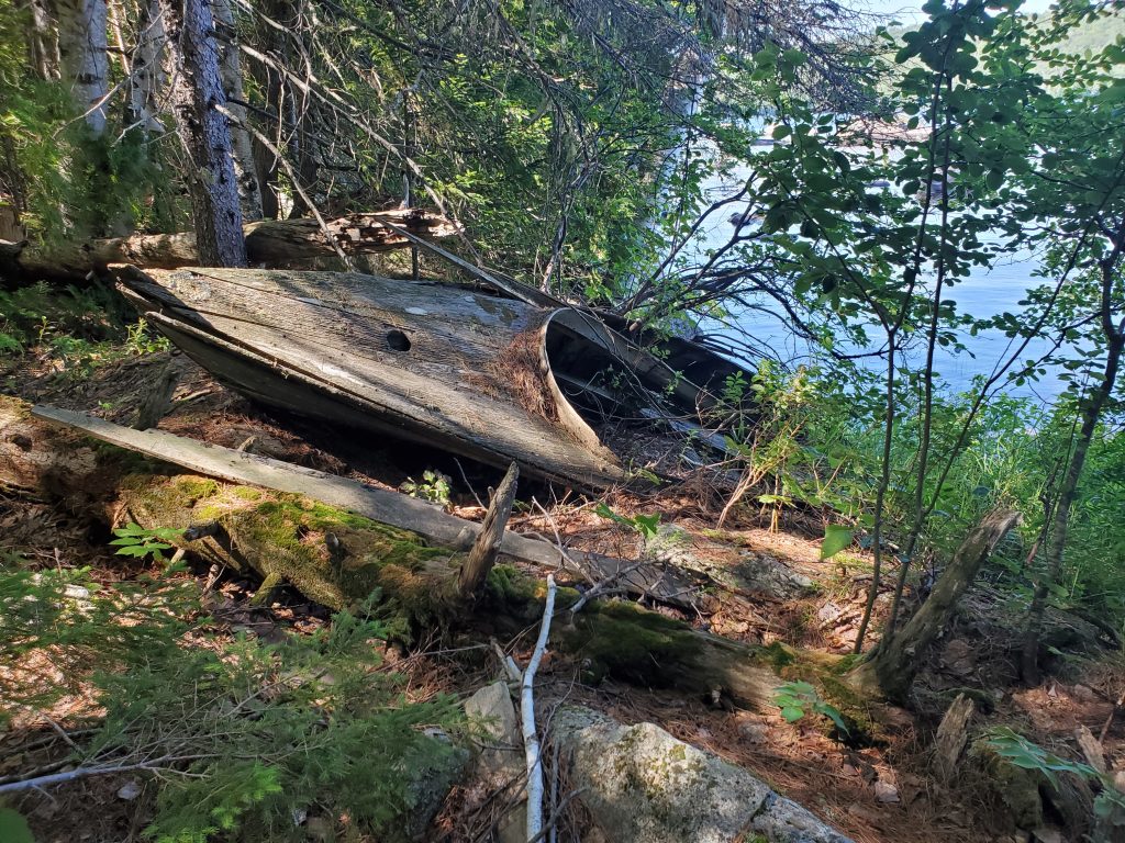
- You can never have too many aluminum boats chained to trees at a remote site
- Curiosity could have killed the frog
- Italian Salame and Cheese should be a backpacking requirement, no matter the carbon footprint
- Most through-hikers do not wear watches, but they all want to know what time it is
- Permethrin works!
- Low-bush blueberries blossom first, and ripen first in the sun
- Dragonflies will pose for selfies
- Maine bugs do not apparently bother me as much as everyone else
- My new Salomon boots were a great choice – stayed dry and only a single blister (due to tying wrong)
- There’s lots of wiggle room between the contour lines
The boots are now my new favorite, Salomon will get a rave review from a new fan. The food was entirely consumed, none left. And my feet? They are fine and ready for a few more miles, after a short rest. Already planning the next excursion… probably the Bigelows.
